
Weather Liaison & Weather Intelligence Services
Real-time weather awareness — explained clearly, when it matters most.
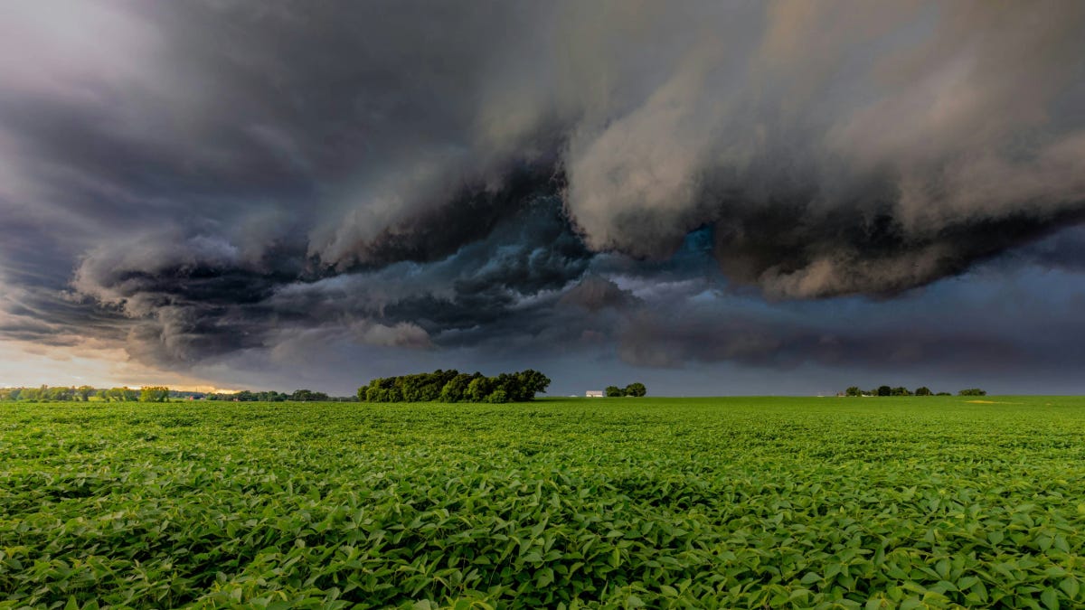
Weather impacts decisions every day — travel plans, outdoor events, work schedules, and safety.
Most people rely on apps that show radar or alerts, but those don’t always answer the most important question:
“What does this actually mean for me?”
That’s where this service comes in.
What This Service Is
I provide personalized weather monitoring and updates to help you understand:
- When weather will impact you
- How severe it may be
- What actions you should consider
This is not automated alerts or generic forecasts — it’s real-time interpretation of weather information, tailored to your situation.
What I Do
Depending on your needs, I can:
- Monitor weather conditions before and during events
- Provide timing breakdowns — when weather arrives, peaks, and clears
- Explain risks in simple terms — wind, rain, storms, visibility, etc.
- Offer situational updates during active weather
- Answer questions directly as conditions change
Common Use Cases

Events & Outdoor Activities
- Weddings
- Festivals
- Sports games
- Community events
Travel Monitoring
- Road trips
- Flight timing awareness
- Route planning around storms or hazardous conditions
Personal Weather Awareness
- Severe weather days
- Winter storms
- Heavy rain / flooding concerns
What Makes This Different
Most weather apps give you data.
I help you understand:
- Timing — when things will actually happen
- Impact — how it affects your plans
- Decisions — what you may want to consider doing
This is a human-driven service, not just alerts.
Important Note
I am not a meteorologist.
This service is based on interpreting publicly available weather data and providing clear, practical explanations.
Always follow official warnings and guidance from sources like the National Weather Service and local emergency management.
Pricing
Pricing is simple and designed to be flexible depending on your needs.
Event Weather Monitoring
- Starting at $50 per event
- Includes pre-event briefing and day-of monitoring
- Final pricing depends on duration and level of monitoring requested
Travel Weather Intelligence
Basic Trip Brief — $25
- Covers a typical trip — departure and return
- Route-based weather breakdown
- Timing guidance and hazard overview
Full Travel Monitoring — $50
- Covers your trip to your destination, your stay, and your return
- Pre-trip briefing
- Updates during travel windows
- Ongoing monitoring if weather may impact your plans
- Ability to ask questions during your trip
Note: Long-distance or multi-day travel may require custom pricing depending on duration and level of monitoring.
Personal Weather Monitoring Monthly
Standard — $10/month
- Text/email alerts when weather may impact you
- Timing breakdowns and simple explanations
- Ability to ask questions during active weather
Premium — $25/month
- Everything in Standard
- Text alerts during significant weather
- More detailed, situation-specific guidance
- Priority responses
First-Time Clients
If you’re interested but unsure, I may offer discounted or trial pricing for first-time clients as I continue building and refining this service.
Example Weather Update
Example of a typical weather update. Actual updates will vary based on conditions and your specific situation.
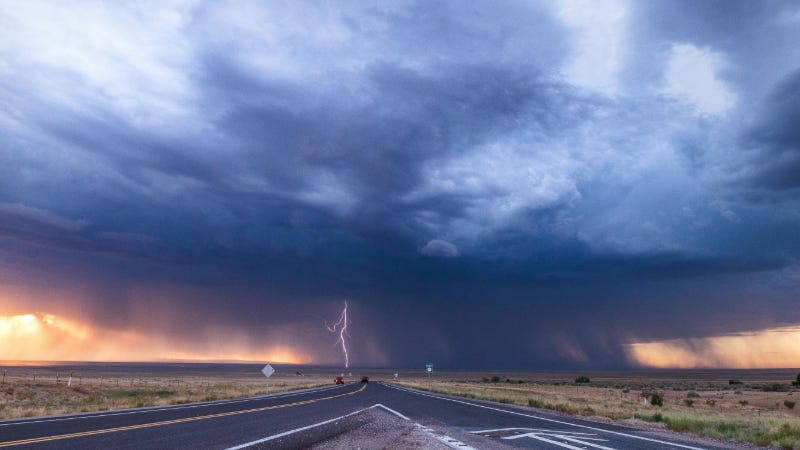
Severe Weather Update — Tuesday
Storms are expected to move into your area between 4:30 PM and 6:00 PM.
- The strongest part of the storm will likely be between 5:00–6:30 PM
-
Main concerns:
- Wind gusts up to 50–60 mph
- Heavy rain reducing visibility
Conditions should improve after 7:00 PM.
What this means for you:
If you have plans this evening, the safest window is before 4:30 PM
or after 7:00 PM.
I’ll continue to monitor and send updates if anything changes.
Example Travel Weather Update
Travel Weather Brief — Syracuse to Albany I-90
If you’re planning to leave in the afternoon, here’s what to expect:
- Light rain begins along your route around 2:00–3:00 PM
- Heavier rain and reduced visibility likely between 4:00–6:00 PM, especially east of Utica
- Winds may gust 30–40 mph in open areas
Best travel window:
Leaving before 2:00 PM or after 7:00 PM will help you avoid the
worst conditions.
What this means for you:
If you leave mid-afternoon, expect slower travel and periods of
poor visibility. Not dangerous, but less comfortable.
How It Works
- You tell me your situation — event, travel, or general monitoring
- I track the weather conditions for your location
- You receive updates with clear timing and impact
- You can ask questions anytime during active monitoring